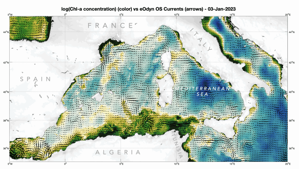
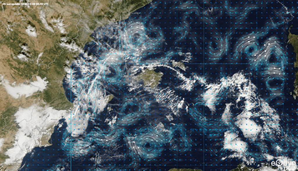
Build your own map and share a direct link to your custom view. You can even save your favorite spots in your bookmarks!
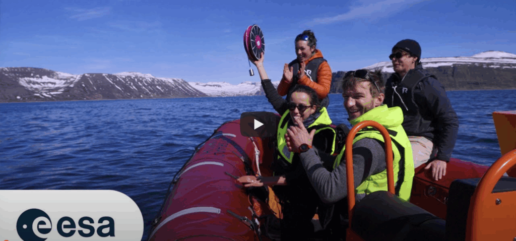
Test Ocean Vibes Playground now!
About the app
![]()
![]()
Build your own map and share a direct link to your custom view. You can even save your favorite spots in your bookmarks!
Test Ocean Vibes Playground now!