

eOdyn · Ocean in motion
OceanVibes
See the real ocean.
Decide with confidence.
A customizable platform for understanding ocean conditions. Bring eOdyn’s observations, complementary data and maritime applications together to support your team’s work at sea.
eOdyn observations
The ocean,
in context.
Start with measurements. Compare them with models and forecasts to understand the conditions around your area of interest.
Omni-Situ surface currents
AIS-derived observations turn vessels into ocean sensors, across coastal waters and the open ocean.
MELODI wave observations
eOdyn’s drifting buoys add a direct, in-situ perspective on sea-state conditions.
Complementary ocean data
Satellite products, ocean analyses and weather forecasts complete the picture. Measurements and models remain clearly distinguished.
Complementary data, according to your workspace
- Copernicus Marine
- ECMWF
- NOAA
- Argo
- Global Drifter Program
- HYCOM
Inside OceanVibes
Explore. Compare.
Understand.
Follow a current, inspect a location or change perspective. Keep your selected area, time and data sources in reach as your question evolves.
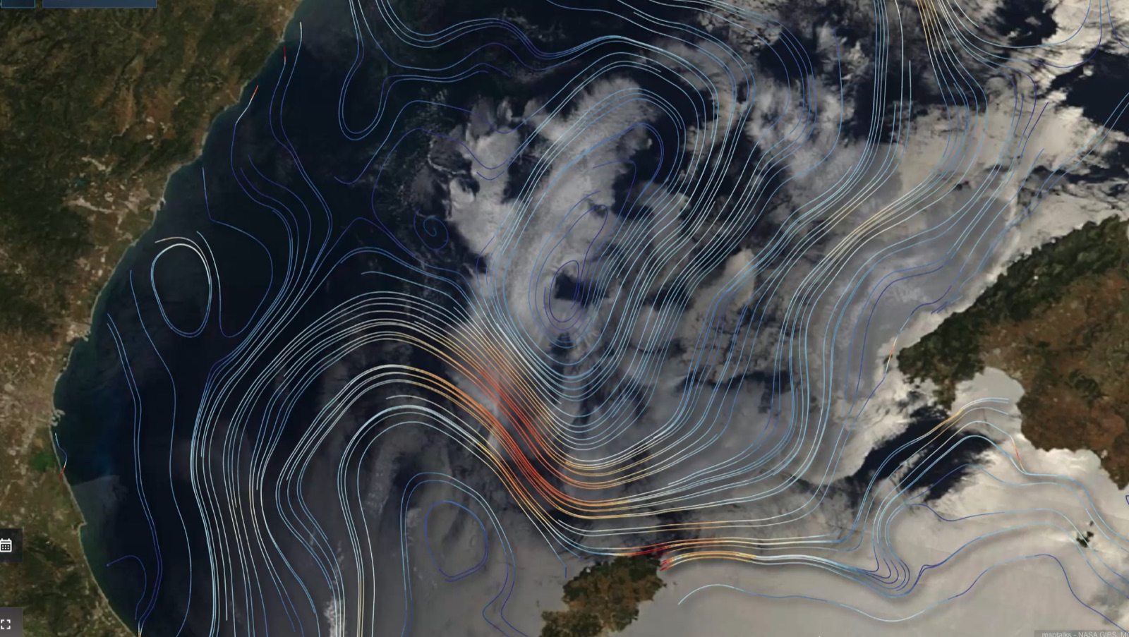
See the shape of the ocean.
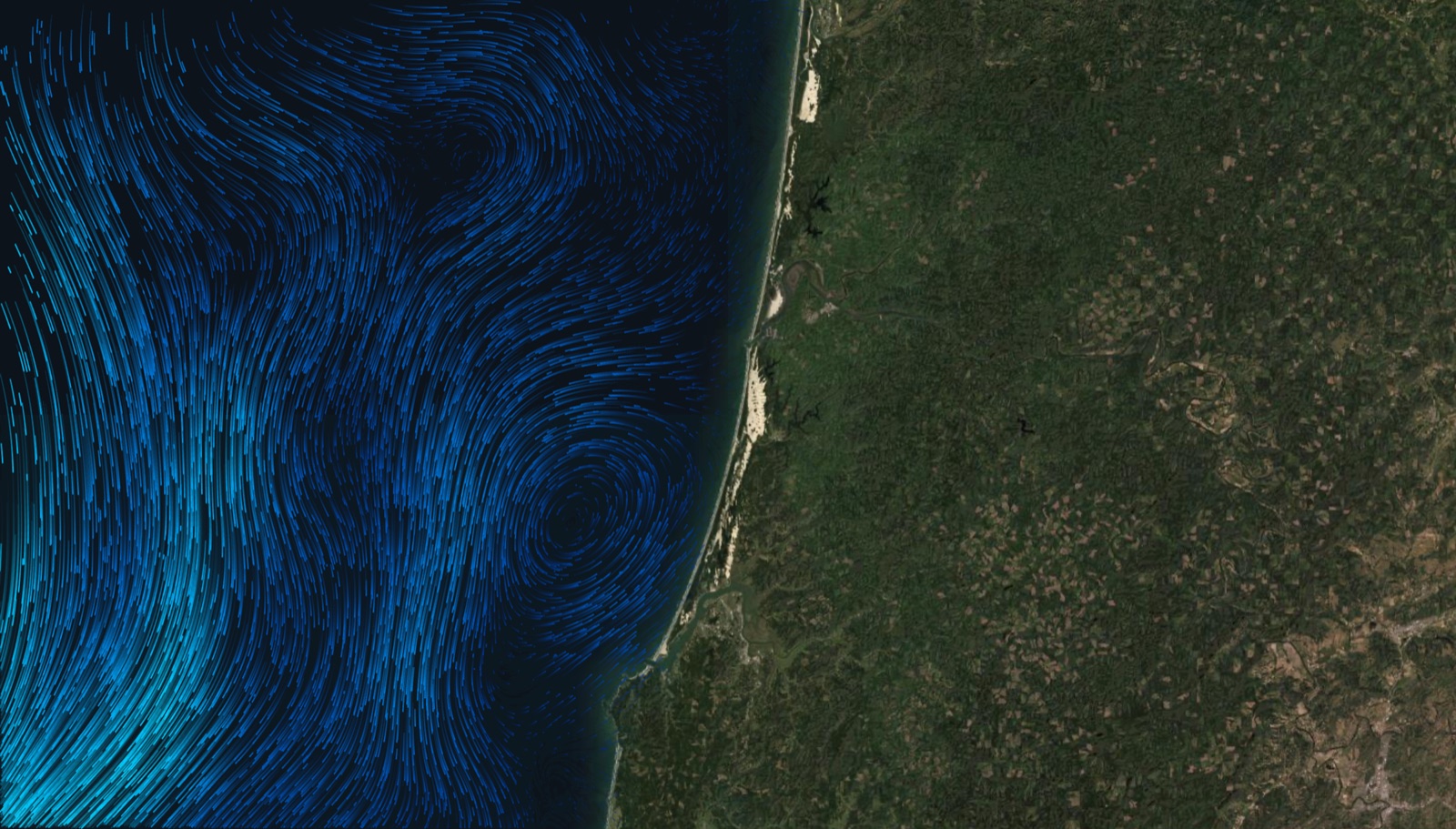
Trace currents, eddies and regional circulation. Move from broad patterns to the waters around your area of interest.
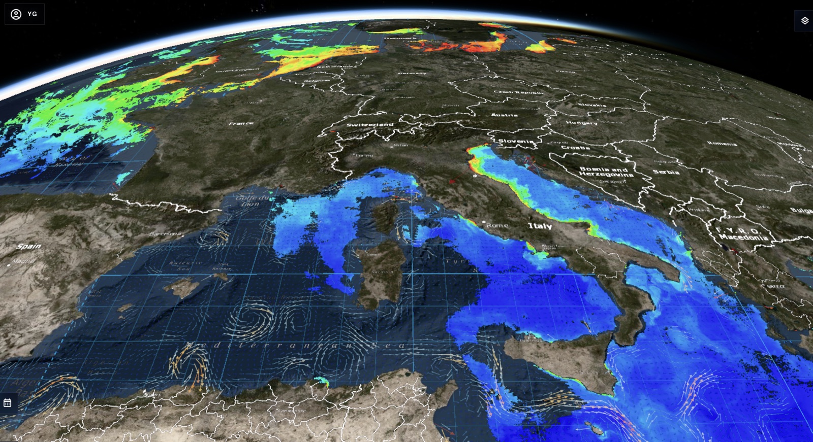
Go beyond the flat map.
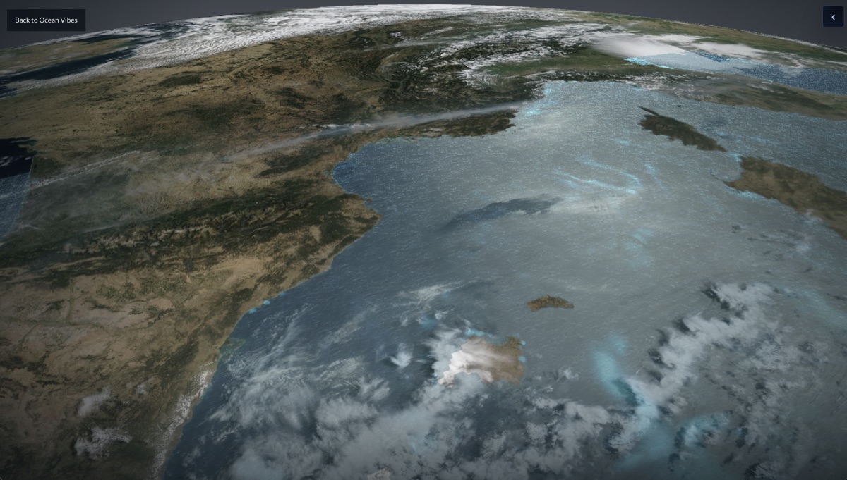
Explore a 3D globe with ocean and atmospheric layers. Put coastlines, regional conditions and your working area in perspective.
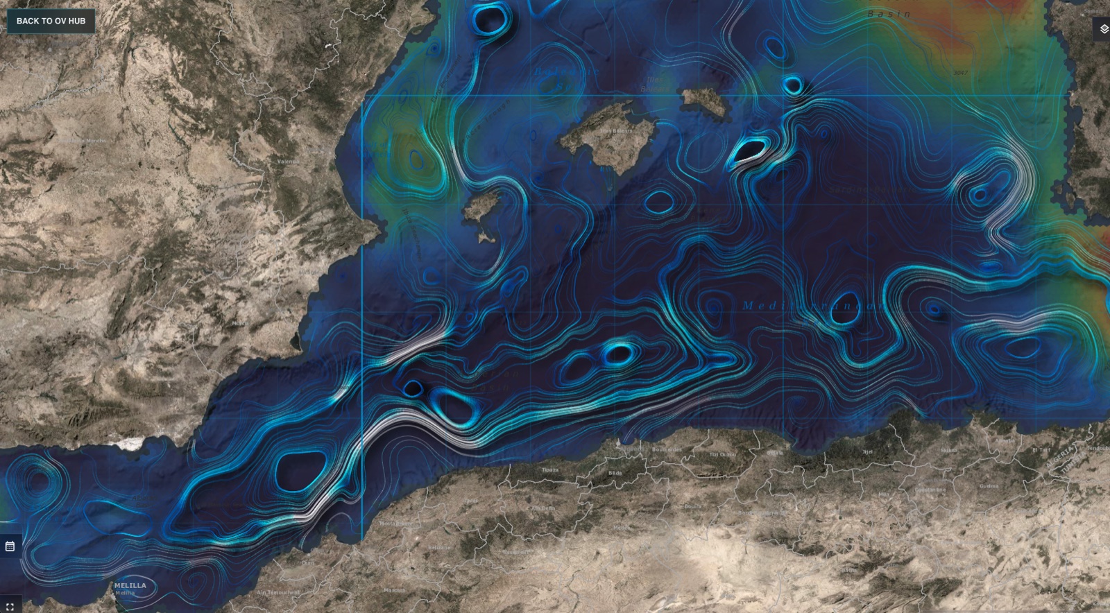
Read between the patterns.
Investigate circulation, fronts and contrasts. Use spatial context to understand features that a single value cannot explain.
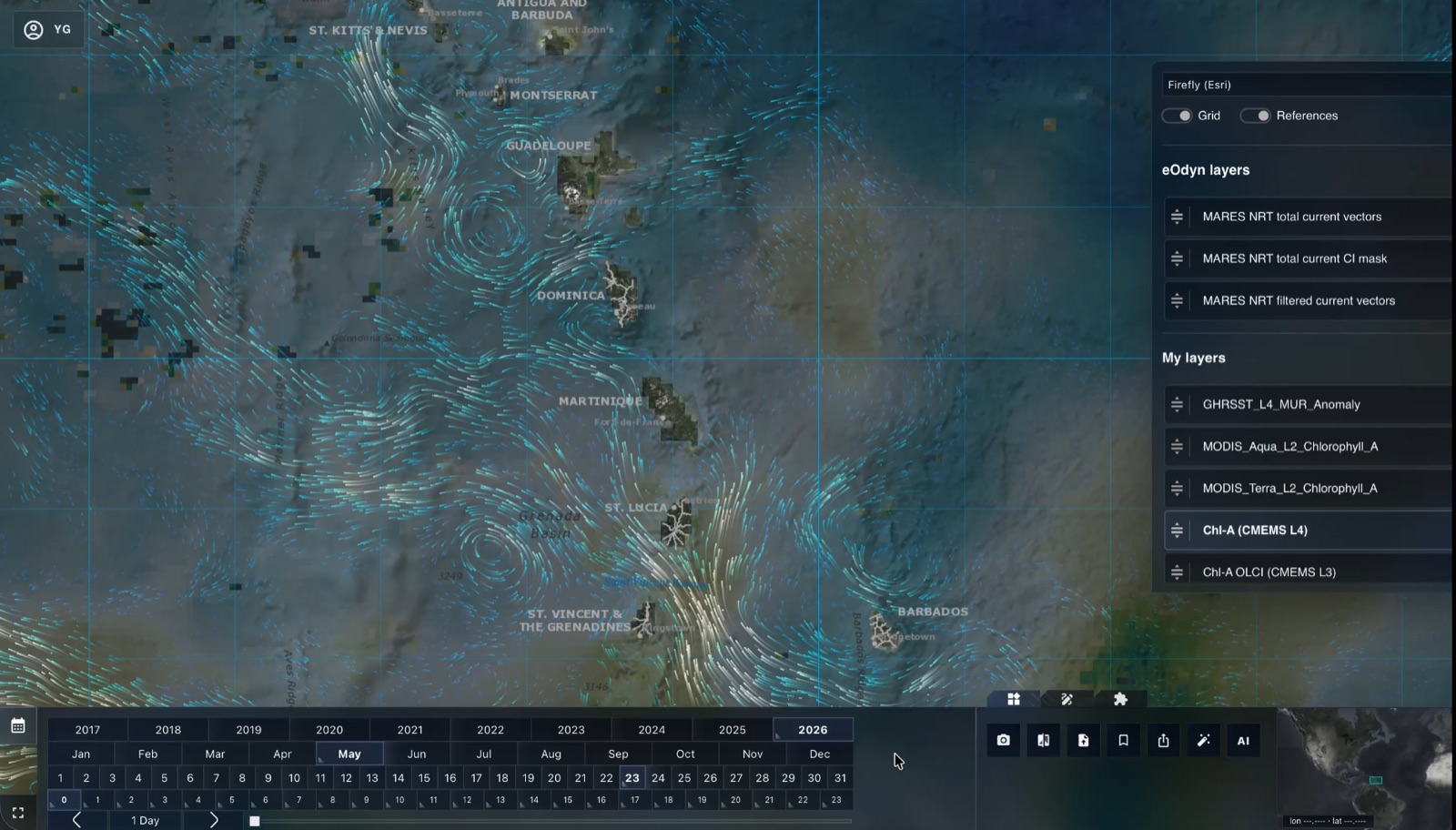
Same place. Same time. More insight.
Align eOdyn observations and complementary products. Explore their coverage and timing before drawing conclusions.
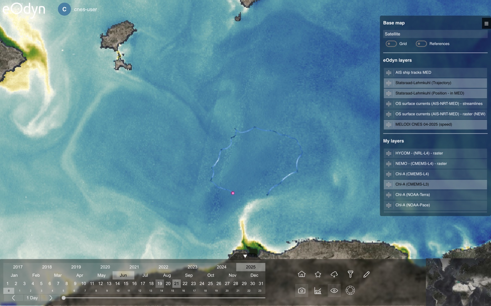
Let observations challenge the picture.
Place drifter trajectories alongside current fields. Investigate where measurements, analyses and forecasts agree or diverge.
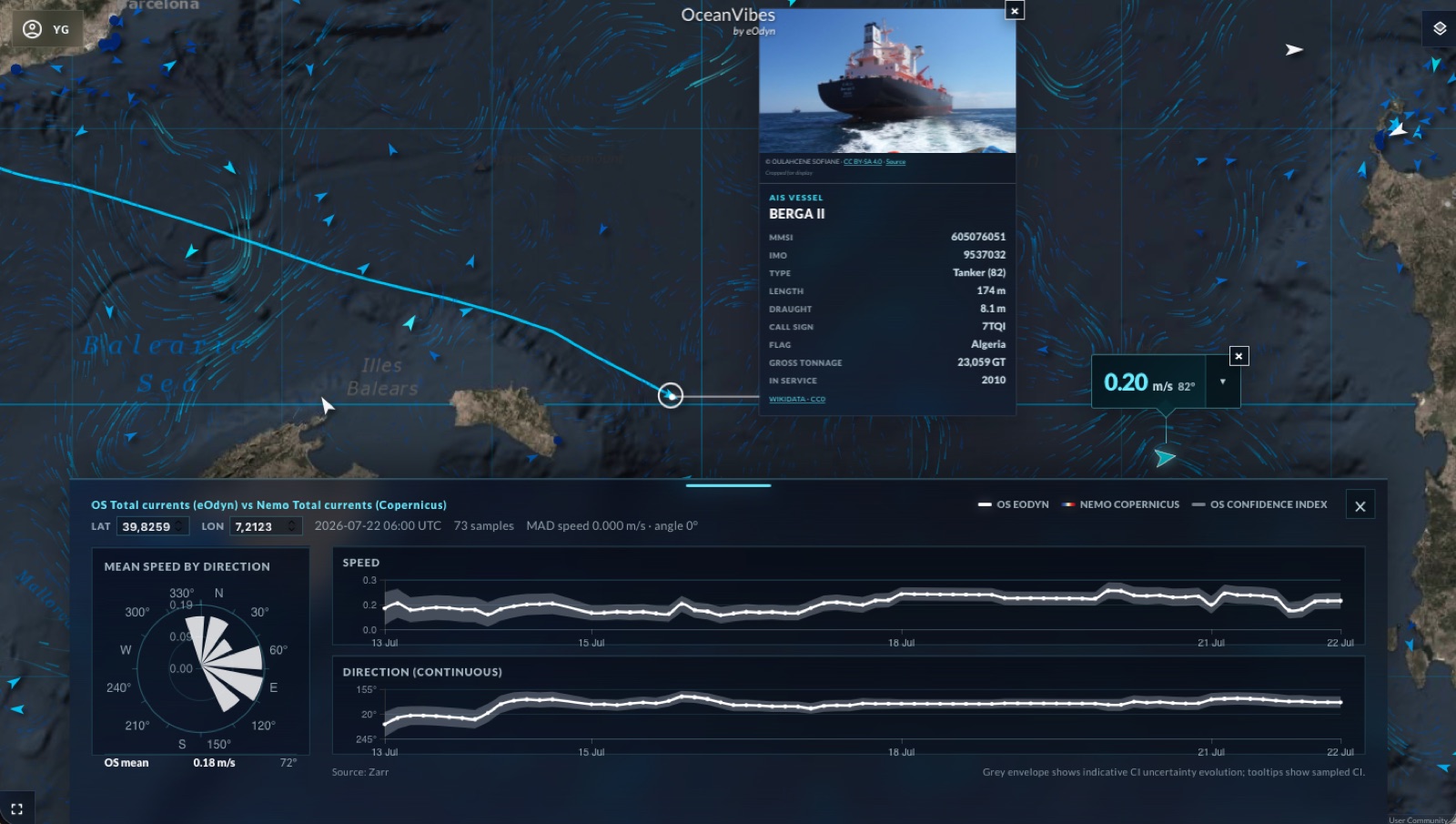
A location becomes evidence.
Inspect current speed, direction and their evolution over time. Use comparisons and confidence information to support your assessment.
Take the question further.
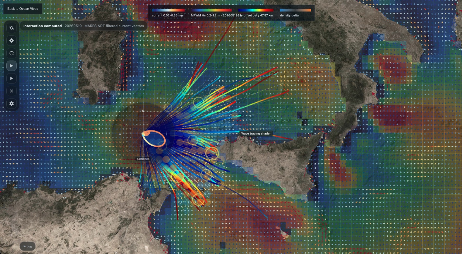
Continue into specialist applications, including wave–current interaction, with the ocean context already at hand.
Explore the platform through real views from the OceanVibes Hub.
Maritime applications
Built around
your operations.
A shared map is the starting point. Dedicated applications help your team plan passages, monitor activity and investigate ocean conditions.
01 Plan
Prepare a route.
Anticipate the conditions.
Compare passage options and mission timing against currents, wind and waves, using the vessel and route inputs that matter.
OV Navigator · Current-aware Mission Planner
02 Monitor
Follow the voyage.
Understand the changes.
Review route progress and developing deviations. Relate vessel activity to the conditions around ports, facilities and offshore assets.
OV Route Monitoring · Maritime Traffic Statistics
03 Search
Assess the drift.
Prepare the search.
Explore likely drift, uncertainty and possible origins. Prepare search areas and patterns around the incident and available resources.
Search and Rescue
04 Compare
Question the model.
Examine the evidence.
Compare current sources through time. Investigate differences in speed and direction, and explore how currents influence wave propagation.
OS Current Vector Benchmark · Wave & Current Interactions
05 Review
Replay the encounter.
Learn from the voyage.
Review vessel tracks, close approaches and avoidance manoeuvres. Turn recorded events into a structured bridge-team debrief.
AIS Encounter Review · MSIS Onboard Debrief
06 Immerse
Enter the scene.
Share the perspective.
Explore bathymetry, vessels and marine environments in three dimensions. Prepare a clearer view for an assessment or team briefing.
3D Bathymetry · OceanVibes Immersive Twin
Available applications, datasets and operational qualification depend on the configured service and access conditions.
Fully customizable
Your expertise.
Your workspace.
Start with an application from the Hub. Develop a private tool with the Application Builder. Adapt a forkable app to a new question, and submit it for community review when it is ready.
Your data, your methods and your team’s expertise can become part of the OceanVibes experience.
- 01 Explore the Hub
- 02 Build in your workspace
- 03 Review and share

Professional Services
eOdyn’s research engineers work with offshore energy companies, navies, scientific teams and space agencies. Together, we connect your operational needs with the right ocean observations, data and applications.
From a tailored OceanVibes workspace to integration with your existing tools, our team helps you put the platform to work and supports it as your requirements evolve.
Join us in creating a sustainable futurefor our oceans and maritime industries